28 OCT 2019
INR 5,00,000/-
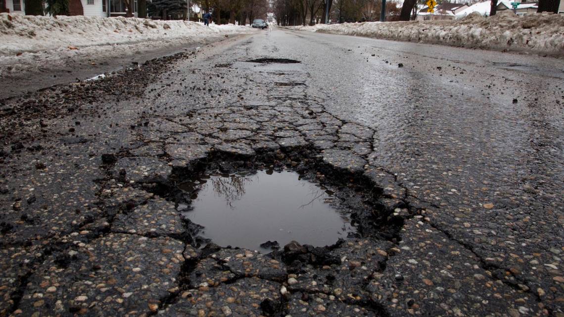
Commuters face a lot of issues on the road daily, but none poses a greater risk than Potholes. They are the biggest cause of inconvenience on the roads. They not only deteriorate the roads but also creates a lot of inconvenience to drivers. We are looking for a solution where the potholes should be detected and plotted on the map.
Challenge Details
Keeping roads in good condition is a challenge, as harsh weather, unexpected traffic load, and normal wear and tear, affect the road quality and degrade even well-laid roads over relatively short periods of time. Therefore, detection, monitoring and filling of potholes becomes very crucial for the safety and driving experience of the commuters. The approach towards road condition monitoring is slow, irregular and inaccurate. By making the information on the quality of roads readily available to authorities, will facilitate quick repair of the roads, and by making the same information accessible to people will enable them to commute on the best possible roads. We are, therefore, seeking solutions to detect, track and report potholes on roads. The potholes identified, should also be mapped onto google-maps, thus making the tracking and repairing very easy. It is also preferable to create an optimal route map to the potholes, based on the severity of damage to the roads, so that the authorities can know how to reach that location and where to focus the efforts. Besides, it will be an added advantage if the information on the severity of the road damage in the form of colour coding on the map is also provided.
Requirements:
- Detection of potholes should not require any special devices, that is, it should make use of commonly available technology. E.g. smartphone sensors.
- The information captured by sensors should be made available to all participants/users.
- It should not report any false positives.
- It should alert the authorities in cases where the potholes become bigger than a specific size.
- The solution should be implemented for Jamshedpur city, and the pothole mapping on Google maps should be done for two localities, at a minimum.
- It should be capable of handling data from multiple sources for the same road and aggregate it without any errors.
- Potholes identified should be mapped to google maps and should help plan the route for pothole filling.


